Adding an Accessory Dwelling Unit (ADU) is one of the smartest ways to boost property value. Families use them for rental income, in-law housing, or private offices. Yet many projects run into trouble at the permit counter. The missing piece is often a topographic survey. Without it, your site plan can be rejected, causing delays and redesign costs. The good news? You can figure out early whether you’ll need one by doing a quick ADU pre-check.
Why a Topographic Survey Matters for ADUs
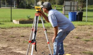
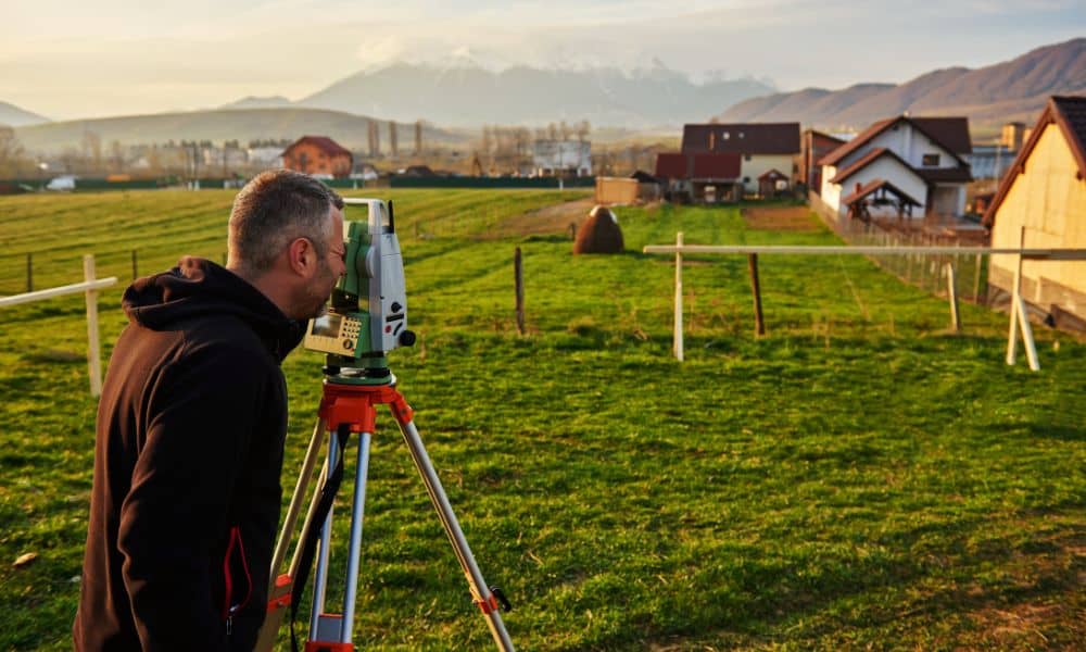
A topographic survey is a detailed map prepared by a licensed land surveyor. It shows the exact shape of your land, including elevations, slopes, drainage patterns, and features like retaining walls, trees, and driveways. For ADU construction, this survey proves where your building will sit and how it will interact with the land around it.
LADBS (Los Angeles Department of Building and Safety) reviews hundreds of ADU applications every week. If your plans don’t show slope changes, drainage paths, or elevation data, they’ll often stop the process and request a topo survey before moving forward. That’s why smart homeowners and builders check first—so they don’t waste time submitting incomplete plans.
Step One: Check ZIMAS
Los Angeles provides free online research tools. The first one you should try is ZIMAS (Zone Information and Map Access System). Enter your property address and you’ll see zoning, overlays, and case history.
Why is this important? Because overlays reveal conditions that trigger surveys. For example, hillside areas almost always require a topo survey. If your lot sits in a hillside zone, assume LADBS will want a detailed topo map before they approve anything.
ZIMAS also shows past permits. If you find old additions or changes without proper records, expect more scrutiny. A topo survey gives the city confidence that your new project won’t create fresh problems.
Step Two: Explore Navigate
Next, head over to Navigate another city tool that layers property data on maps. Turn on Bureau of Engineering features to check for utility easements, street dedications, and public rights-of-way.
Why does this matter? An easement cutting across your lot can stop or shrink your ADU project. LADBS often asks for a topo survey to clearly show where easements lie and how your ADU design avoids them.
This step takes only a few minutes, but it can save you weeks of revisions later.
Step Three: Look for Flood Zones
Even in sunny, flood risk plays a role in ADU permitting. Visit the LA County Flood Zone Determination site or FEMA’s Map Service Center to see if your property is in a Special Flood Hazard Area.
If it is, LADBS will likely request both a topo survey and an elevation certificate. These documents prove that your ADU design meets flood safety requirements. Homeowners often overlook this step, then face delays when the city flags their project for missing flood data.
LADBS and the “Site Plan with Topography” Requirement
The ADU Submittal Checklist from LADBS lists a “Site Plan with Topography” for certain lots. In plain terms, that means you need a licensed surveyor to create a topo map.
This map includes:
- Contour lines showing slope and elevation changes.
- Drainage paths across the lot.
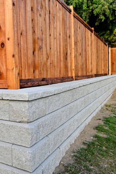
- Existing structures, fences, and features.
- Trees, walls, and driveways that affect construction.
If your lot is flat and simple, you may not need it. But the moment slope, easements, or irregular shapes appear, the checklist becomes non-negotiable.
Common Triggers That Force a Topo Survey
Through experience, surveyors know which conditions almost always require a topo survey:
- Hillside properties or lots with visible slopes.
- Irregular lot shapes that don’t match deed lines.
- Encroachments, such as fences or sheds that cross into neighbors’ land.
- Utility easements or drainage channels.
- Properties with unpermitted additions.
Think of these as “tripwires.” If your ADU project hits any of them, budget for a topo survey early.
Timing Matters
LADBS occasionally schedules maintenance windows where online systems are offline. If you’re preparing to submit, check the LADBS site for downtime notices. Uploading a topo survey during an outage can delay your review by a week or more.
By timing your submission right, you’ll avoid unnecessary waiting.
What a Topographic Survey Costs
Costs vary depending on property size, slope, and research needs. On average, a topographic survey for a single-family lot runs from $2,500 to $5,000. Larger hillside lots can run higher.
Although the price may feel steep, skipping it often backfires. Rejected plans, redesign fees, and resubmittals can cost much more. In most cases, ordering the survey upfront saves both time and money.
The Value of Working With a Licensed Land Surveyor
Not all surveyors are equal. For ADUs, you want a licensed land surveyor familiar with LADBS requirements. They’ll not only prepare the topo map but also guide you on whether a boundary survey is needed.
For example, if fences don’t match recorded lot lines, a boundary survey may be required alongside the topo survey. Handling both together is more efficient and cost-effective.
Final Thoughts:
Adding an ADU is a major investment. The last thing you want is to see your permit rejected because you skipped a topographic survey. By checking ZIMAS, exploring Navigate, and reviewing flood maps, you can predict whether LADBS will ask for one. If red flags appear, order the survey early.
It’s the simplest way to keep your project on track, avoid costly redesigns, and get your ADU approved without painful delays.