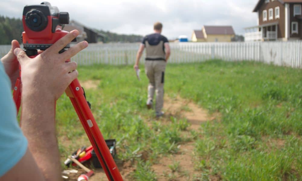
Why Hiring a Licensed Land Surveyor Protects Your Property
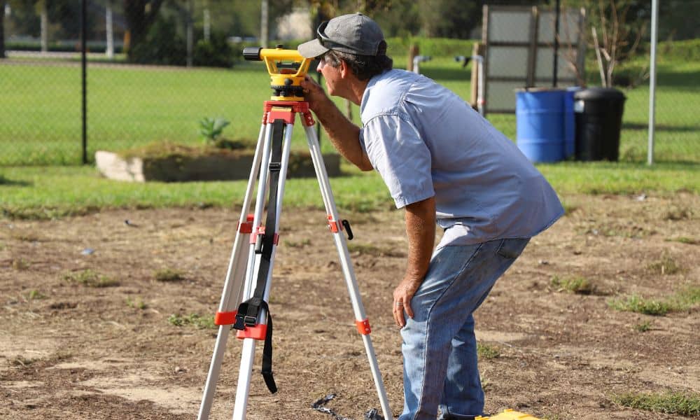
Owning property in Los Angeles often means making plans. Many homeowners want to build something new. Some plan to add a fence. Others want to build a small rental unit. Many people also plan to expand their homes. These projects can be exciting. However, before starting work, one step is often missed. Property owners must […]
Can an Elevation Certificate Lower Your Flood Insurance?
Buying a home in Los Angeles feels exciting—until a lender tells you the property sits in a flood zone. Suddenly, you must carry flood insurance. Then the premium shows up, and it’s not cheap. Many homeowners assume they have no choice. However, that’s not always true. An elevation certificate can sometimes help you challenge your […]
How Public Drone Growth Impacts Drone Land Surveying

Los Angeles has always moved fast. Now, the skies above the city move fast too. In 2026, public agencies across Los Angeles continue to expand their drone programs. Police teams, emergency crews, and city workers now use drones every day. Because of this, more drones fly across the city than ever before. At first, this […]