Why Topographic Survey Accuracy Matters More Than Ever

Los Angeles sits on beautiful hills, dramatic canyons, and scenic coastal bluffs. However, that beauty comes with movement. The ground in Southern California does not stay perfectly still. Storms, soil conditions, erosion, and even slow hillside creep all shift the land over time. Because of that, a modern topographic survey in 2026 must do more […]
How AI Is Changing Land Surveying Today

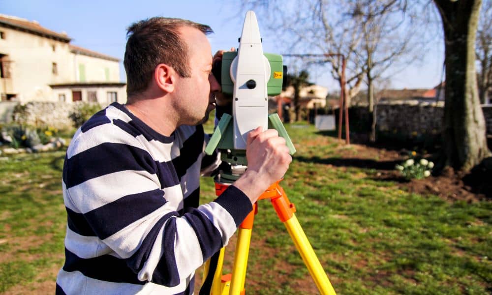
Many people still picture land surveying the same old way. They imagine a surveyor with a tripod, standing in the field all day. That still happens. However, the tools behind modern land surveying have changed very fast. Today, surveyors also use AI-assisted software, LiDAR scanners, and drone mapping to collect and study land data. These […]
How a Licensed Land Surveyor Evaluates Your Property
If you have ever contacted more than one survey company and received very different price quotes, you are not alone. Many homeowners and buyers feel confused when one licensed land surveyor charges much more or less than another. At first, this can feel frustrating. Still, there is a lot happening before a quote is ever […]