Why a Due Diligence Survey Matters After a Wildfire
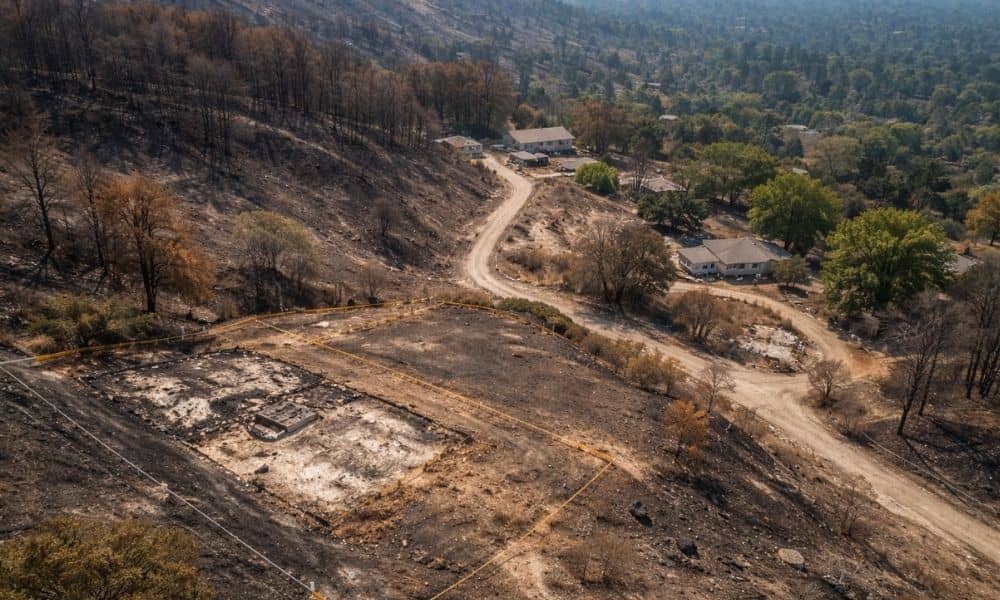
Wildfires change more than homes and trees. They change land. Across Southern California, recent fires have left behind burned slopes, damaged access roads, and cleared parcels that look simple at first glance. However, what looks “clean” after a fire often hides new risks. Because of this, a due diligence survey matters more now than it […]
LiDAR Mapping Goes Mainstream: What Property Owners Need

LiDAR mapping used to be something only engineers and survey teams talked about. Today, that’s changing fast. Across California, LiDAR mapping is showing up in planning reports, environmental studies, and early property reviews. As a result, property owners are starting to hear the term more often, even if they’ve never ordered a survey before. So […]
How an ALTA Title Survey Prevents Costly Permit Rejections

If you plan to build, remodel, or redevelop property, paperwork can stop you before work even starts. Many projects stall during plan check, not because of bad design, but because of missing or unclear land data. An alta title survey helps fix that problem early. When done right, it gives permit reviewers clear proof of […]