Los Angeles changes fast. New bike lanes appear overnight, construction zones shift every week, and traffic never stays the same for long. While most people only notice these changes when they’re stuck in traffic, something else is happening quietly on the streets every single day. Robotaxis are driving around the city, and as they move, they’re building a living 3D map of LA. This matters to anyone interested in lidar mapping, because it shows how quickly real-time digital mapping is becoming part of everyday life.
Most of the public discussion around robotaxis focuses on safety or tech drama—especially the battle between camera-only systems and systems that rely on LiDAR. But there’s a much bigger story underneath. These vehicles aren’t just learning how to drive. They’re scanning every detail of the city as they go. Each trip adds fresh data to a growing digital twin of Los Angeles.
And the surprising part? This is happening constantly, in the background, while most people have no idea.
The Robotaxi Debate That Started It All
Recently, a well-known engineer in the tech world brought back the debate about how self-driving cars should “see.” The statement was simple: LiDAR is not optional. It’s essential. This challenged the long-time idea that cameras alone could be enough for a self-driving system.
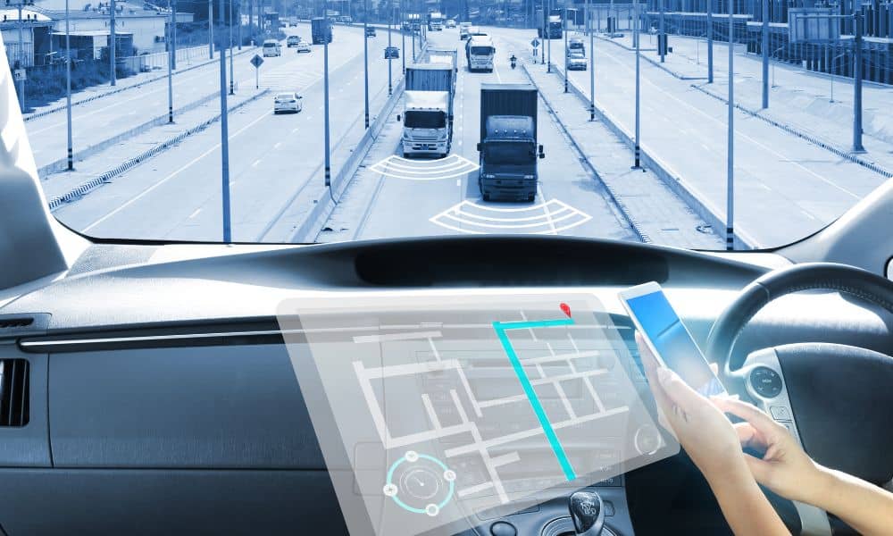
This debate pushed LiDAR back into the spotlight. Robotaxis on LA streets today rely on layers of sensors that help them read the environment in full 3D. That means every moment they’re driving, they’re also mapping. They detect lane lines, slopes, curbs, signs, and even the shape of temporary barriers.
So if these vehicles need accurate maps, how do they get them? They build the maps themselves.
How Robotaxis “See” LA: A 3D Scan Every Few Seconds

Robotaxis don’t drive blind. They scan the environment constantly, building detailed point clouds as they move. These scans show:
- Lane lines
- Curbs
- Road textures
- Traffic signs
- Construction cones
- Barriers and detours
- Bike lanes
- Crosswalks
- Overhanging branches
- Street furniture like benches and poles
If a construction team adds a new barrier on the 110, the robotaxi will notice. If a city worker paints new lane stripes on Sunset, the car updates its map. If scaffolding goes up around a building downtown, LiDAR picks up the shape right away.
This is continuous lidar mapping on a massive scale. Instead of a survey team going out once to collect data, these cars map the same roads dozens of times. The result is a constantly refreshing view of Los Angeles. That’s why experts say LA is turning into a live LiDAR lab. Few cities in the world have this much scanning happening every day.
Why This Matters for Businesses, Cities, and Builders
At first, it might seem like this only benefits the companies that own the robotaxis. But the ripple effect is much bigger. When a city gets mapped over and over, it changes how people design, build, and manage everything. Here’s how different groups will feel the impact.
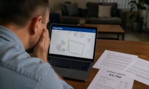
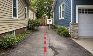
Developers rely on current site data. Old maps cause delays, mistakes, and expensive redesigns. With robotaxis updating the environment constantly, developers may soon have access to base maps that are never outdated. That means better planning and fewer surprises.
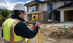
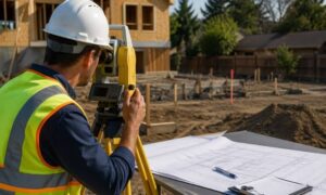
Engineers and Surveyors still need to collect ground truth, boundary measurements, and construction staking. However, continuous city scans can support early planning. Engineers get a highly accurate 3D view before ever sending a crew into the field.
Cities like LADOT and Metro need fresh data to manage:
- Traffic flow
- Vision Zero safety programs
- Bus routes
- Parking zones
- Pop-up bike lanes
Continuous 3D maps help them see changes faster and react sooner.
Commercial Real Estate teams depend on street-level details for things like:
- Site selection
- Foot-traffic studies
- Signage placement
- Visibility analysis
Fresh 3D data gives brokers and planners an edge. Construction Teams can use updated LiDAR-based surfaces to track progress, understand access points, and start early conflict detection before anything slows down a project. Better data means lower risk. Robotaxis collect that data every time they move.
The Hidden Asset: A City-Scale Point Cloud
Although robotaxis are creating huge amounts of mapping data, it isn’t public. These 3D maps stay private for now, but the influence they have on the industry is already growing. The idea that a city can have a constantly updating digital twin changes how survey teams, planners, and builders think about LiDAR.
Imagine an LA where:
- Designers check a fresh curb layout before starting a parking plan
- Emergency teams view updated road obstructions after a major event
- Insurers rely on recent 3D data after storms or floods
- Drone survey teams pair their scans with baseline data collected on the ground
- Planners see construction progress in near real time
We’re moving toward that reality faster than most people realize.
As partnerships form between public agencies and tech companies, the line between robotaxi data and city planning data will blur. LA could become one of the first cities to benefit from continuous 3D updates built into everyday traffic.
What This Means for the Future of LiDAR Mapping
LiDAR is moving beyond survey crews. It’s becoming part of daily city activity. As robotaxis expand across Los Angeles, we’ll see major shifts.
Faster Data Cycles will become normal. Instead of waiting months for updates, fresh 3D information could be available weekly.
More Accurate Designs will come from richer base maps.
Improved Safety will follow better street visibility for crosswalk upgrades, bike lanes, and emergency routes.
A Real Digital Twin of LA will begin forming, supported by millions of LiDAR points collected each week.
New Job Roles will appear as LiDAR mapping experts help merge robotaxi data with drone and mobile scans.
Final Thoughts:
Robotaxis aren’t just moving people around. They’re scanning Los Angeles in stunning detail, building one of the most complete 3D city models in the world. Developers, engineers, survey firms, and city planners who recognize this shift now will gain a major advantage.
This is the future of lidar mapping: fast, fresh, detailed, and always updating.