How AI Is Changing Land Surveying Today
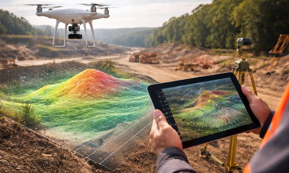
Many people still picture land surveying the same old way. They imagine a surveyor with a tripod, standing in the field all day. That still happens. However, the tools behind modern land surveying have changed very fast. Today, surveyors also use AI-assisted software, LiDAR scanners, and drone mapping to collect and study land data. These […]